A summary about Westwood Hills Kansas including contact us information, map, parking and streets, Census Data, and details about public places. Learn more about the Green, 3 traffic islands and entranceways to our city which mark our unique and historic city.
The City of Westwood Hills
Westwood Hills was incorporated in 1949. One hundred seventy-five homes are located within the City’s boundaries of the east side of Rainbow Boulevard to the west side of State Line Road, from 48th Terrace to the the north side of 50th Terrace. In 2013, Westwood Hills has declared a National Historic District in its entirety.
City affairs are directed and administered by an elected, five-member City Council and a Mayor. The Mayor and Council appoint the City Clerk, City Treasurer, Municipal Judge, and City Attorney. The Mayor also appoints members to the Planning Commission and a Board of Zoning Appeals.
Westwood Hills Parking and Streets
Parking cars on curbs, sidewalks, or grass is prohibited.
All four wheels of vehicles must be on the pavement/street.
The City speed limit is 25 miles per hour on interior streets. We have many children living in the neighborhood. Please drive carefully and observe the speed limit.
Parking on City streets for a period of 24 hours following a two-inch or more accumulation of snow is prohibited. The parking ban takes effect two hours following the snow accumulation in order to allow the streets to be cleared. Violators will be ticketed, and vehicles may be towed at the owner's expense.
Westwood Hills Public Places
Westwood Hills is fortunate to have a public space that we call “ The Green”. The Green may be used as an area for quiet reflection, relaxation, contemplation, and wildlife observation and as a gathering place for city residents and guests for functions or events planned by, sponsored by or co-sponsored by the City or approved by the Governing Body of the City. This space is where we celebrate our Spring Egg Hunt, the 4th of July celebration, the Tree Lighting Ceremony, and other special community events. The space is open for public use between the hours of 7:00 AM and 11:00 PM and SMOKING IS NOT PERMITTED.
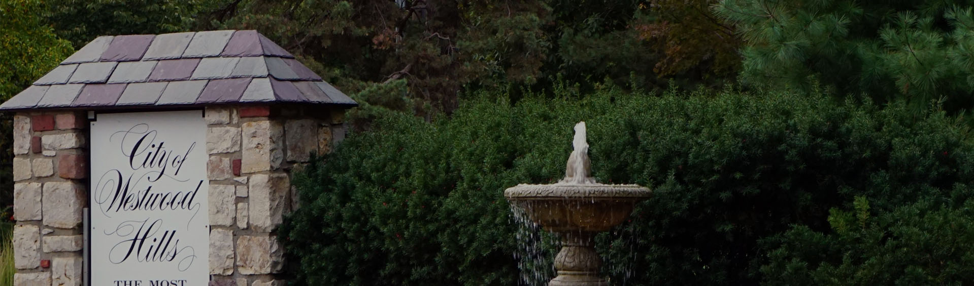
The community also shares 3 traffic islands and entranceways to our city which mark our unique and historic city.